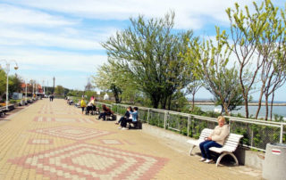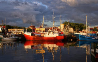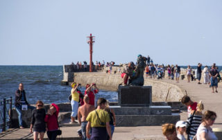
The Baltic Sea
A shallow, 415 square kilometer body of water, counted among mediterranean seas, drains into the Atlantic Ocean through the danish islands. The avarage depth of the Baltic is 52,3 m, and the maximum depth – 459 m (The Landsort Depth to the North-West of Gotland).
The salinity of Baltic varies from 2 to 12‰ (avarage 7‰) which clasifies it as a half-salty sea. That is due to relatively large amount of sweet water running into the sea from 250 rivers and low perspiration due to its low temperature.
The water level in the Baltic is slightly higher than in the Norh sea and the Atlantic Ocean, which is a consequence of accumulation of water in narrow danish straits. Tides are hardly observed on Baltic Sea – water level diffrences do not exceed 8cm per day.
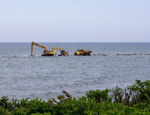
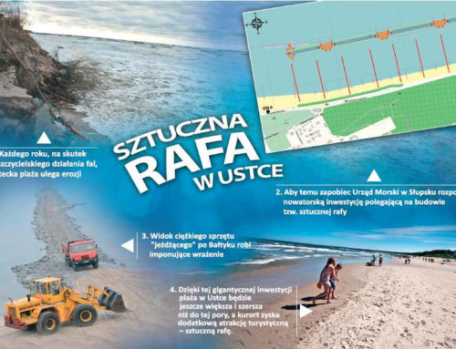
The Baltic is a rough sea. Waves are short and steep. Their typical height is 5m (16,5 ft). During stormy weather, waves are irregular, scattered and reach up to 10 m.
On December 23rd, 2004, during a severe storm on Northern Baltic, a record 14 m wave was observed (55 ft), which is just as tall as „Fregata” building together with the tower! Surface water temperature varies from –0,5 to +20 degrees Celsius depending on the season. It is also dependend on the strides – water gets warmer when it blows from the West and colder when it blows from the East.
The name of our sea in most languages derives itself from the word „Baltic”, however in german and scandinavian languages it is called „the Eastern Sea” and in Estonia „the Western Sea”.